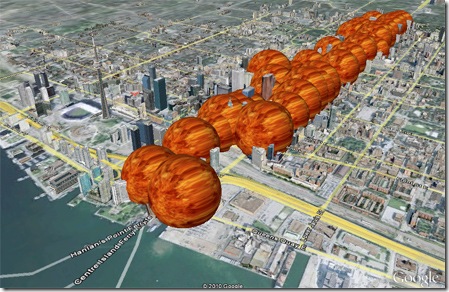
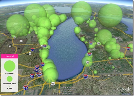
Data Appeal is a web-based application that transforms data into powerful communicative messages to increase the use and sharing of information. It allows the transformation and interpretation of information to be intuitive, straightforward and fun. This web-based application takes geo-referenced data files and creates beautifully designed 3D and animated maps. In essence, it is a simplified GIS, and visual geo-analytics tool.
DataAppeal uses art and design to create alluring maps and images to help draw the intended audience to the information. The tool is very easy to use, so it is accessible by a wide variety of users, allowing them to turn rows and rows of boring data into instant information.
How does it work?

Users upload a datasheet, complete with address, geo-coordinates, values, date and time. Locations require geocoding; DataAppeal offers a free geo-coding sheet, that translates addresses to latitude and longitude coordinates.
Once a completed datasheet is uploaded, users can select from a palette of pre-defined forms –including spheres, cone, cube and spikes to generate their desired “look” of the map. The values are proportionally modeled. Users then have the option to select other visual effects such as colors , textures, transparency levels, size and scale as a means to design and visually depict their data. This application also allows users to create animation for trending data. Once a map is generated, the user can share their link or capture images of the 3d maps.
DataAppeal is free at the moment; more visual effects and analytic options are to follow.
Behind the scenes:
This tool has have been created through a collaboration of GIS specialists and artists to ensure that data is displayed in a more visually appealing manner to create a stronger response to information. The founder of DataAppeal is Nadia Amoroso, who specializes in mapping and visual representation. The application stems from her research on geo- visualization as described in her book, “The Exposed City: Mapping the Urban Invisibles”. The tool was also developed by Carlo Amoroso, technical expert.